How did we gt here...
The construction industry started with 2D drawing and drafting which were visualized and engineers had to use imagination for proper elevation and manage work. The industry soon got 3D modeling software such as AutoCAD 3D, 3Ds Max, and Civil 3D. This surely changed the industry with 3D simulation and drafting techniques. The need for more sophisticated and one-stop-shop software was seen, with which REVIT and Navisworks came into the scene. REVIT gave the most significant 3D models and which can be used by Architects-Construction-Engineers workers. This incorporated with BIM gave a leap to this industry with many draught decades. The need for Navisworks was seen as a scheduling and modeling combination and to verify the planning of the project which can give us Clash free and seamless construction process.
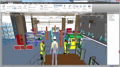
Navisworks gives us output in various forms which are- 3D model, Models with a working simulation which shows workers, machines, vehicles, and cranes which are needed and can be seen where they will be placed. This was originally developed by UK based developer and then purchased by Autodesk.
What language do you need to know...
Now if you are into planning and need things to get faster and easy to change, you will need to get to the next step with some programming language and API, and qualified Workbooks. Here Navisworks uses the .NET Framework for composing and editing.
What inputs are needed?
We can insert files in Navisworks such as .nwd, .nwf, .nwc, and when you want to import AutoCAD files they can be .dwg or .dxf with .3ds and .prj also an option for 3D Studio files.
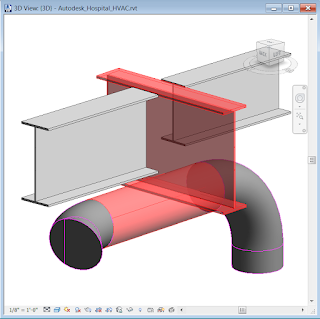
The top choice will be BIM Model. This will help us to understand the basic contents such as geometry, relevant object property, and the most significant one - The clash Detection Test.
The Clash Detection
What output do we get?
Navisworks allows us to have a different version of files which we can use easily with the Basic file which works on Navisworks Freedom, Stimulate and Manage version. navisworks gives files out in form of .nwd, .nwf, and .nwc along with dwf, dwfx, fbx, and kml.
How well does this go along with other competitors?
Softwares such as SketchUp, Tekla Structures, Syhncro, MicroStation, Archicad, DataCAD, Vectorworks Architect are an alternative and competitors which also gives modeling and clash detection application.


Crackeado Programas is a best free downloading website
ReplyDeleteLooking to download safe free versions of the latest software, freeware, shareware and demo programs from a reputable download site? Visit Softtechbr today. Click Crackeado Programas and download premium software free of cost
ReplyDeletePC Software is an App that is designed to operate on Windows, OSX, or another personal computer operating system or in a desktop browser and a PC Game => So visit this blog and download Crackeado Programas software in just one click.
ReplyDelete